How Did Nine States End Up With Panhandles?
June 16, 2020
How This Journey Unfolded
July 31, 2020When it comes to the size of its states, the United States really tilts to the West.
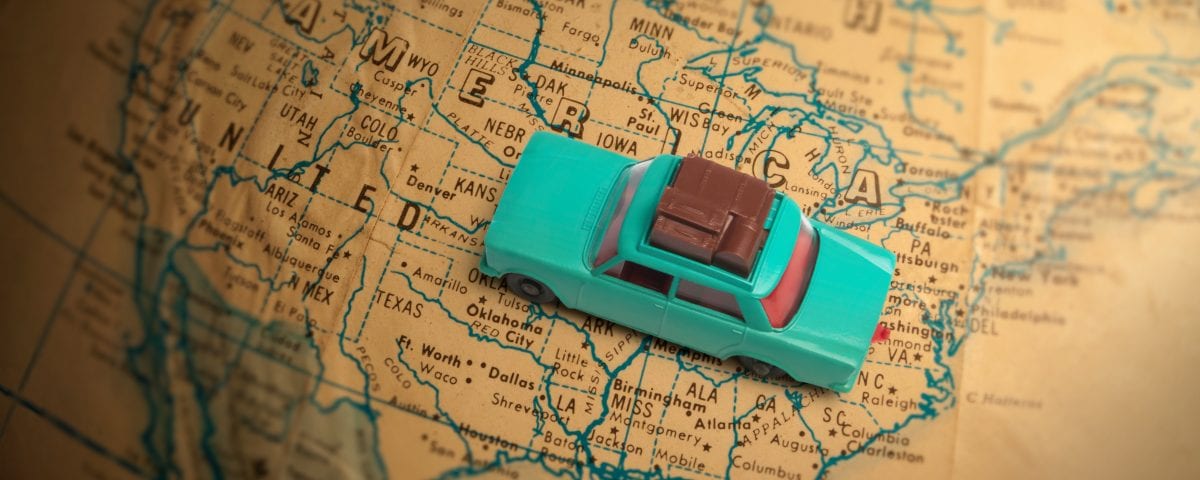
It’s pretty obvious when you stare at a map. The states in the western half of the country are noticably bigger than the eastern portion of the nation.
It makes sense. There’s more open space in the western United States and it was settled with the help of the Homestead Act of 1862 that gave people large pieces of property in return for living on the land for at least five years.
However, the difference in the sizes between the two halves of the country might surprise you.
If you count Texas and Alaska as western states, then the West has the top 12 states in terms of square miles.
In fact, the only western state (except Hawaii) that isn’t in the top 12 is Washington. And the Evergreen State clocks in at number 20, ahead of Michigan, Illinois and Florida.
The largest state is, of course, Alaska with its 570,641 square miles. That’s bigger than the next three largest states combined.
The second most sizable state is Texas, which is impressive in its own right. From the top of its panhandle to its tip at the town of Brownsville, Texas is 790 miles in height. But the state is also 660 miles wide from western to eastern edges. To illustrate that breadth, consider that the city of El Paso is actually closer to San Diego than it is to Houston.
California, a state that is more than 1,000 miles from northern edge to southern edge, is third in size.
Montana, a state that is 550 miles wide, is fourth.
All seems in line there, but the next three states might not be as obvious.
The fifth largest state is New Mexico. It’s followed in sixth place by Arizona. Nevada is in seventh.
Rounding out the top 10 are Colorado, Wyoming, and Oregon.
Even Idaho and Utah are larger than states in the Midwest and East.
The streak of western states ends with Kansas settling into 13th place.
The first East Coast state on the list is Georgia in 21st place. It’s also the biggest state in the Deep South.
Florida is 26th and New York doesn’t show up until 30th place.
The discrepancy in size hit home when I was plotting out my journey. The states in the West eat up swaths of time as you drive through them. The states in the eastern half of the country, not so much. In two to four hours, you can blitz right through them.
—————————-
The population of the states is an entirely different story.
Large in size does not necessarily mean large in the number of residents.
The ranking of states by population jumps all over the map.
California is the most populous with almost 39 million people.
It’s followed by the southwestern state of Texas with 30 million residents.
Third place is owned by the southern state of Florida with 22 million.
Two East Coast states, New York and Pennsylvania take up the 4th and 5th slots.
New Jersey is in 11th with 9 million residents. The main reason I bring this up is because New Jersey is the last state on the list to have a population larger than New York City’s 8.8 million people. That’s right. New York City has more people than 38 of our states, including Virginia, Tennessee, and Missouri.
In the bottom 10, we find some of the states that were in the top 10 in terms of size.
They include Montana (8th smallest) and Alaska (3rd smallest).
The least populous state is Wyoming, which is 9th largest in size.
———————————-
The order that the states were admitted to the Union follows, in general an east-to-west pattern but not exactly.
The first 13 states were all along the East Coast and were admitted between December 1787 and May 1790. They gained admission after ratifying the U.S. Constitution.
Delaware beat out Pennsylvania by five days, giving the Constitution its stamp of approval on December 7, 1787. The Keystone State approved the document on December 12.
New Hampshire was the ninth state to give the OK to the Constitution. That vote gave the document the 9th vote it needed out of 13 to become official.
Rhode Island was the final state of the original 13 colonies to approve the Constitution, doing so in May 1790.
The 14th state was Vermont, a territory fought over by New York and New Hampshire before the Revolutionary War. Vermont actually declared itself an independent republic and adopted its own constitution in 1777. Vermont fought on the side of the United States during the war but remained an independent republic for 14 years until it approved the U.S. Constitution in 1791.
The admission of new states started to bounce around that, jumping from the growing Ohio Valley to the expanding southern states.
West Virginia is the only state that was admitted to the Union during the Civil War. The region broke away from Virginia because residents objected to that state seceding. West Virginia was officially proclaimed a state in June 1863.
When 1900 came around, the United States had 45 states.
Oklahoma became the first in the 20th century, being admitted in 1907.
It was followed by New Mexico and then Arizona, both in 1912. Arizona was the last state in the continental United States to be admitted.
The country stayed at 48 states for the next 47 years before Alaska and then Hawaii joined in 1959.
I was living in Hawaii at that time and have vague memories of the celebration of statehood. I was 4 years old but do remember a lot of flags and happy people.
A little trivia… the television show “Hawaii Five-O” got its title from Hawaii being the 50th state. The term “5-oh” is now slang in police talk.
——————————————-
There’s a lot of other one-liner trivia when it comes to the states.
For example, Pennsylvania is the only one of the 13 original states that doesn’t have a coastline along the Atlantic Ocean.
Only two states don’t observe Daylight Saving Time. One is Hawaii. The other is Arizona.
Colorado has a mean elevation of 6,800 feet, the highest of any state. In fact, the lowest elevation anywhere in the state is 3,315 feet.
Delaware has the lowest mean elevation of any state, averaging just 60 feet above sea level.
Only two states have spots below sea level. They are California (Death Valley, -282 feet) and Louisiana (New Orleans, -8 feet).
California’s population is almost 15 percent Asian, the second highest of any state. Hawaii’s population is 36 percent Asian. New Jersey is actually third at 10 percent.
Mississippi has the highest percentage of black population at almost 36 percent.
New Mexico has the highest percentage of Hispanic population at 50 percent. California and Texas both have 40 percent.
Vermont and Maine both have populations listed as 90 percent white, the highest percentages of any state.
Maine has the oldest median age at 45 years. Utah is the youngest at 31 years.
Maine is the only state that shares its border with exactly one other state, that being New Hampshire.
You’re never more than 60 miles from saltwater from anywhere in Florida.
People in Michigan are never more than 85 miles from a Great Lake
Minnesota actually has more than 10,000 lakes, a total of 11,842 to be exact
Indiana is the smallest state west of the Appalachian Mountains in the continental United States. It’s the 38th smallest overall.
The state of Kansas has more than 6,000 “ghost towns.”
Missouri and Tennessee have borders with eight other states, the most of any states
Nebraska is the only triple landlocked state, meaning you have to travel through at least three states on any side to reach an ocean, gulf or bay.
Almost 90 percent of Nebraska’s towns have less than 3,000 residents.
Nevada is the driest state with an average of 9 inches of precipitation a year.
Only 0.2 percent of New Mexico’s land is covered by water, the least of any state.
The most densely populated state is New Jersey with 1,259 people per square mile. Alaska is the least densely populated with slightly more than 1 person per square mile.
The state that produces the most wind power is actually oil-rich Texas.
The only state named after a president is Washington.
Wisconsin is by far first in cheese production, but it is also the top state in cranberries and ginseng.
The leading coal-producing state by far is Wyoming.


